
 Do you like urbirun? Then why not buy me a coffee or a chocolate chip cookie to encourage me? Thank you very much for your support!



Subscribe to our newsletter and keep up to date with urbirun news, new destinations and exclusive routes.
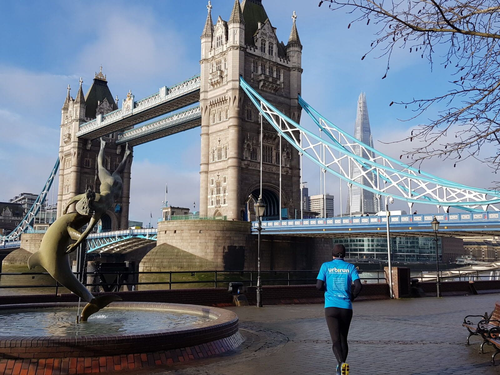
Join de urbirun newsletterLondon has its parks (best parks to run in London) — but the city reveals itself just as beautifully along its waterways. Threaded with canals in addition to the Thames running through its heart, urbirun offers routes across 5 different London areas, with a total of 11 routes to experience London differently — along the water, peaceful, surprisingly bucolic. Let yourself be surprised. Whether along the Thames or the smaller canals, these runs will strike you with their serenity.
Note: for ease of use, all routes are designed to start and finish at a tube station.
Regent’s Canal / Thames Limehouse & Victoria Park / Around Queen E Olympic Park / Around Thames / Canary Wharf & Isle of Dogs / Full pack 11 routes
LONDON’S CANALS
Regent’s Canal — 3 routes
- Distance: 8.1 km, 8.2 km, or 16.4 km
- Suggested starting point:
- Public transport: Paddington tube station / Circle Line
- Downloading you get => 3 linear routes
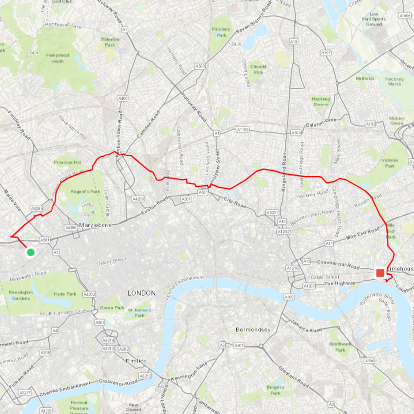
Regent’s Canal — The Full Route: 16.4 km
Start: South Wharf Road near Paddington Basin (Paddington tube / Bakerloo Line) — Finish: Limehouse Basin (Limehouse station)
Regent’s Canal — West: 8.2 km
Start: South Wharf Road near Paddington Basin (Paddington tube / Bakerloo Line) — Finish: King’s Cross St Pancras tube station (Circle Line)
Regent’s Canal — East: 8.1 km
Start: City Road (Angel tube / Northern Line) — Finish: Limehouse Basin (Limehouse station)
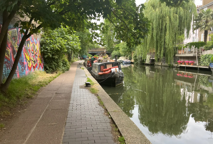
Running in London — a journey through maritime history.
The route begins in one of the Regent’s Canal’s tributaries, near Paddington Station (yes, the one with the bear), along Paddington Basin to join the Regent’s Canal in Little Venice. This running route is extraordinarily peaceful and bucolic — a genuine pleasure to discover London from this angle, far from the frenetic energy you’ll find elsewhere in the city. And in the early morning, you’ll catch the sun reflecting in the canal, smooth as a mirror.
The Regent’s Canal was built in the early 19th century to link the Grand Junction Canal — connecting London to the canal network of northern England — with the Thames. This mode of transport was quickly preferred over the railways for carrying iron and silver to Birmingham, being faster and cheaper. Other goods including grain, leather, zinc and even cheese were also transported along its waters. Commercial use of the canal was abandoned in 1960, and it has since been returned to pedestrians, becoming one of London’s most charming and best-kept secrets.
Starting from the area known as Little Venice, it runs east across London all the way to the Thames, joining the river at Limehouse Basin. Along the way it passes between Regent’s Park and Primrose Hill, through Camden Town with its locks and famous market, continuing past King’s Cross station, where it disappears into an 878-metre tunnel (closed to pedestrians, so a brief detour through the streets). It then continues alongside Victoria Park and Mile End Park before ending at Limehouse Basin, a small harbour on the Thames.
The west and east routes are defined by the Islington Tunnel — the stretch of canal along which running is not possible.
From Thames to Victoria Park
River Lea — Hertford Canal — Regent’s Canal
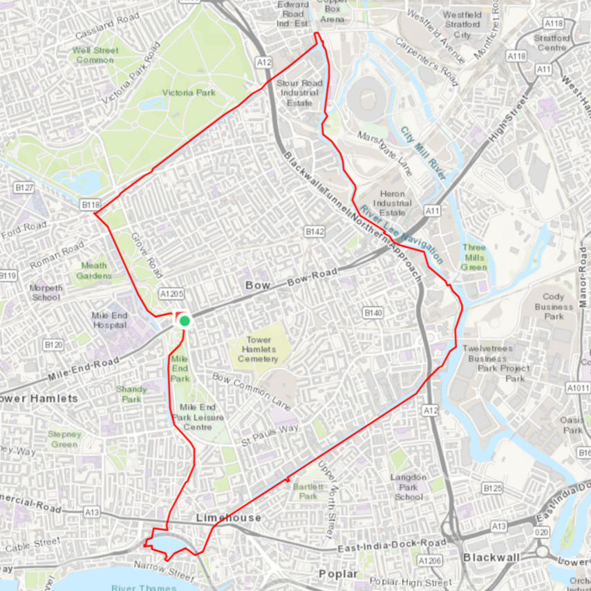
- Distance: 10.6 km
- Suggested starting point: Mile End Rd / Grove Rd
- Public transport: Mile End tube / Central Line – Circle Line – District Line – Hammersmith & City Line
- Downloading you get => 1 loop route
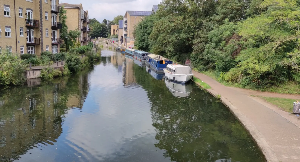
Running in London — more maritime history.
Slightly west of Canary Wharf, this loop takes you along the Regent’s Canal, the Limehouse Cut canal, the River Lea, and the Hertford Union Canal. Limehouse Basin, situated close to the Thames, was the transhipment point for goods between large vessels and the smaller canal barges, which via the Regent’s Canal could access the Grand Union Canal — and from there, every major town in the Midlands and the North. The basin and its locks enabled river traffic to flow across the entire country.
Waterways around Queen Elizabeth Olympic Park
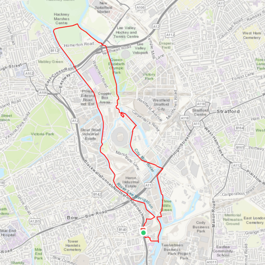
- Distance: 9.5 km
- Suggested starting point: Bromley-by-Bow tube station
- Public transport: Bromley-by-Bow station / Circle Line – District Line – Hammersmith & City Line
- Downloading you get => 1 loop route
Running in London — Nature and architecture
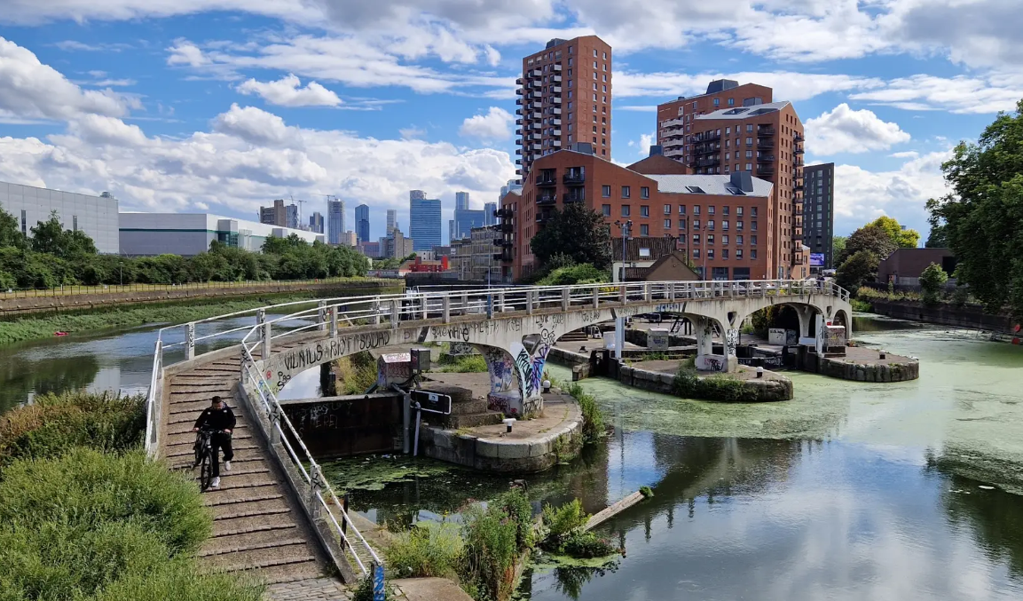
This original route takes you through Queen Elizabeth Olympic Park, surrounded by several waterways: Three Mills Wall River, City Mill River, Waterworks River and the River Lea. You’ll take in the magnificent infrastructure built for the 2012 Olympic Games, enjoying both the architecture and the natural surroundings. The route also passes through Hackney Marshes — former marshland now transformed into parkland. A run that combines striking modern architecture with the feeling of being deep in the countryside.
- You prefer running through parks ? No problem — we’ve mapped out the best running routes in London Parks so you don’t miss a single highlight.
THE BANKS OF THE THAMES
Queen’s Walk Promenade and Thames – 3 routes
- Distance: 9.9 km, 11.7 km or 6.7 km
- Suggested starting point: Tower Bridge Plaza
- Public transport: Tower Hill tube / Circle Line & District Line
- Downloading you get => 2 loop routes (9.9 km & 11.7 km) + 1 linear route (6.7 km)
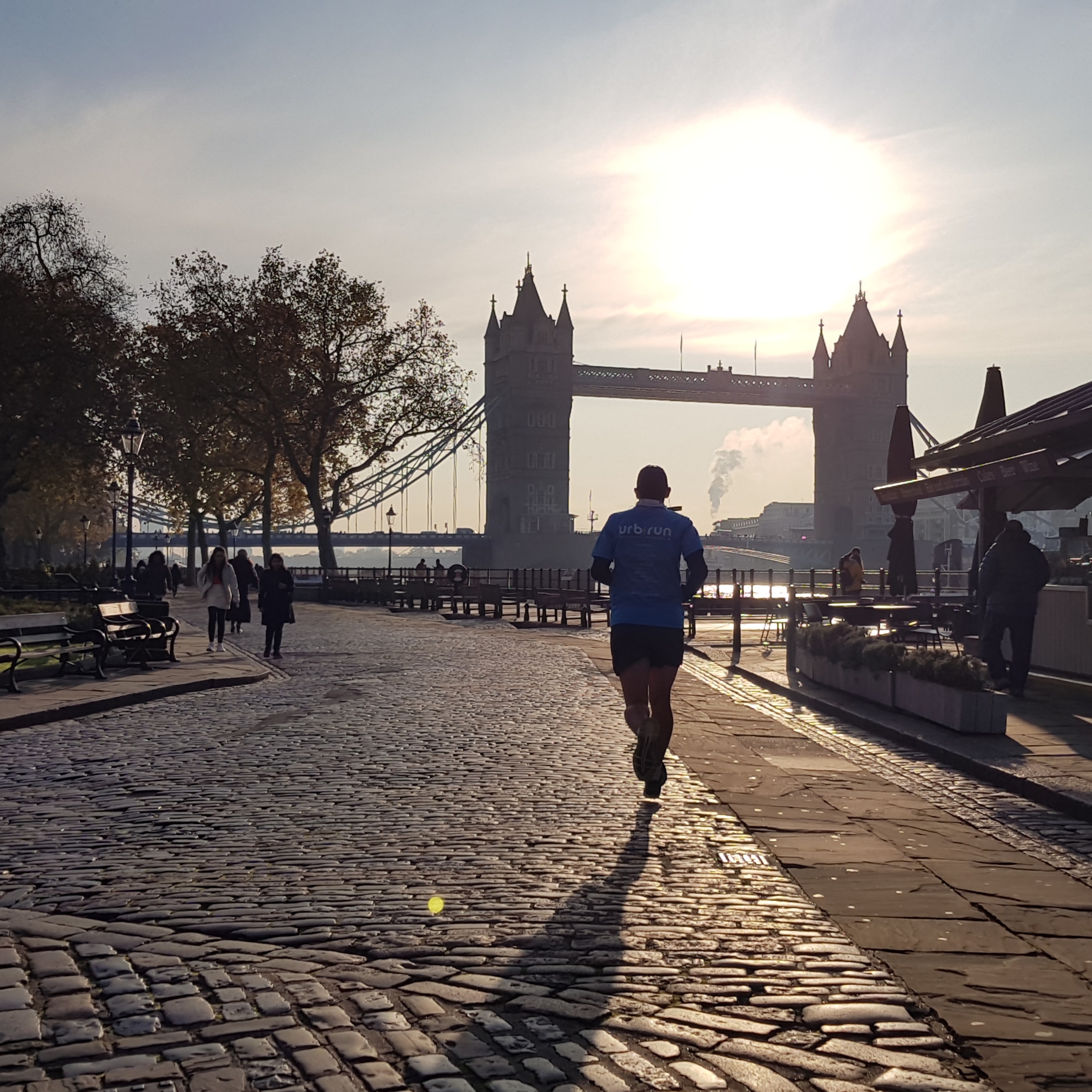
In central London, the banks of the Thames are well set up for runners — particularly the South Bank, which also passes several of the city’s major landmarks. From Tower Bridge (east) to Lambeth Bridge (west) along the Queen’s Walk Promenade, you’ll pass Tower Bridge, City Hall, HMS Belfast, the Millennium Bridge, the imposing concrete mass of Tate Modern, the London Eye, Westminster Bridge, Big Ben, and the Palace of Westminster.
Two of the routes are loops, and the third — running entirely along the South Bank — takes you from Tower Bridge Plaza (Tower Hill station) to Big Ben via Lambeth Bridge (finishing at Westminster station).
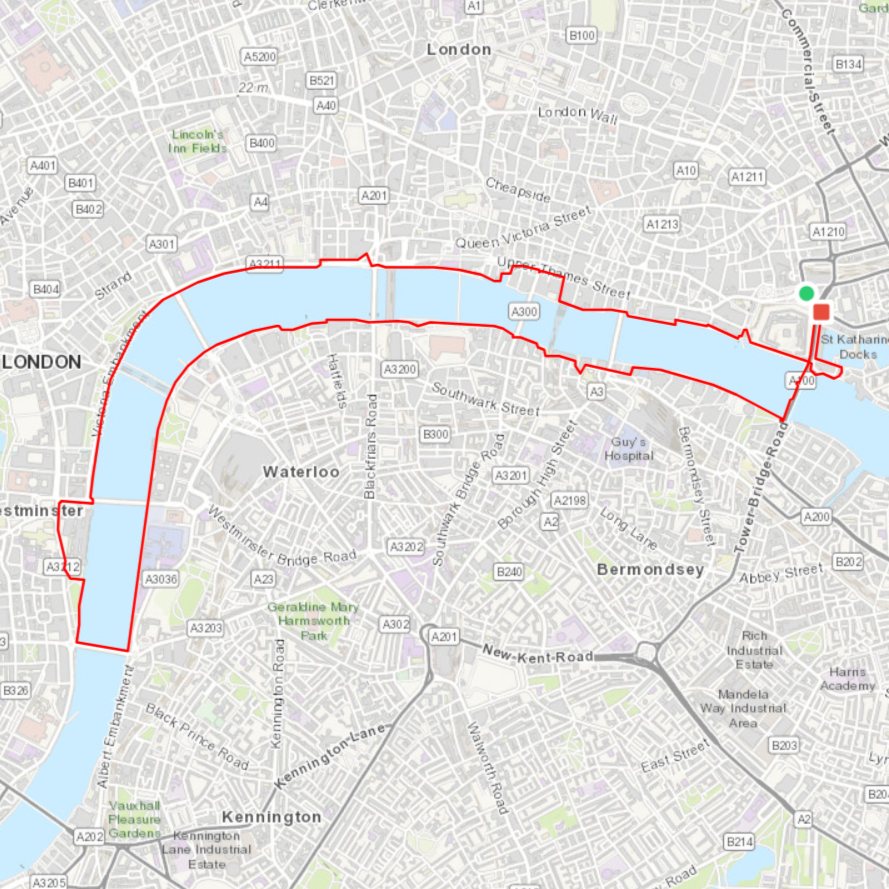
Worth noting: two of the urbirun self-audio-guided tours London routes follow parts of this magnificent stretch — urbirun London — Thames & more and urbirun London — Highlights.
Note as well that there is a similar running route around La Seine to explore Paris' best views and landmarks
Canary Wharf and Isle of Dogs — 3 routes
- Distance : 8.7 km, 12.3 km, or 11 km
- Suggested starting point: Jubilee Park
- Public transport: Canary Wharf tube / Jubilee Line
- Downloading you get => 2 loop routes (8.7 km and 12.3 km) +1 linear route (11 km) from Canary Wharf (Canary Wharf tube / Jubilee Line) to the up-and-coming neighbourhood of Rotherhithe (Canada Water tube / Jubilee Line)
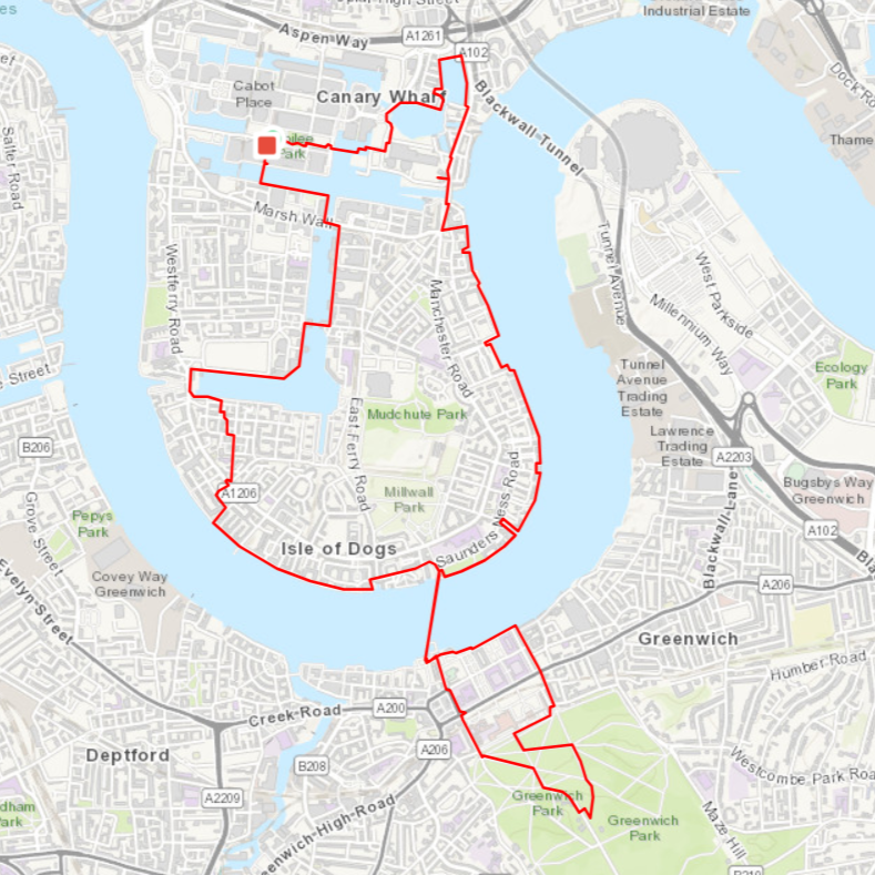
In east London, you can follow the course of the Thames along a pedestrian path that almost circles the Isle of Dogs — now home to the modern Canary Wharf financial district, built around the basins of London’s former docklands.
On the longer route, you can even go underground and experience running beneath the Thames through the famous Greenwich Foot Tunnel, at the southern tip of the peninsula. Trust me — you’ve probably never run through anything quite like it. This extension takes you up to the Royal Observatory at Greenwich through a lovely park, past the arcades of the Queen’s House, and alongside the Old Royal Naval College, before returning to the Thames for another underwater crossing. Both routes take you through neighbourhoods that are far too often overlooked — and are absolutely worth the detour, especially on foot.
The linear route (11 km) takes in the Isle of Dogs, the Greenwich Foot Tunnel, and the Greenland Docks in the thriving neighbourhood of Rotherhithe.
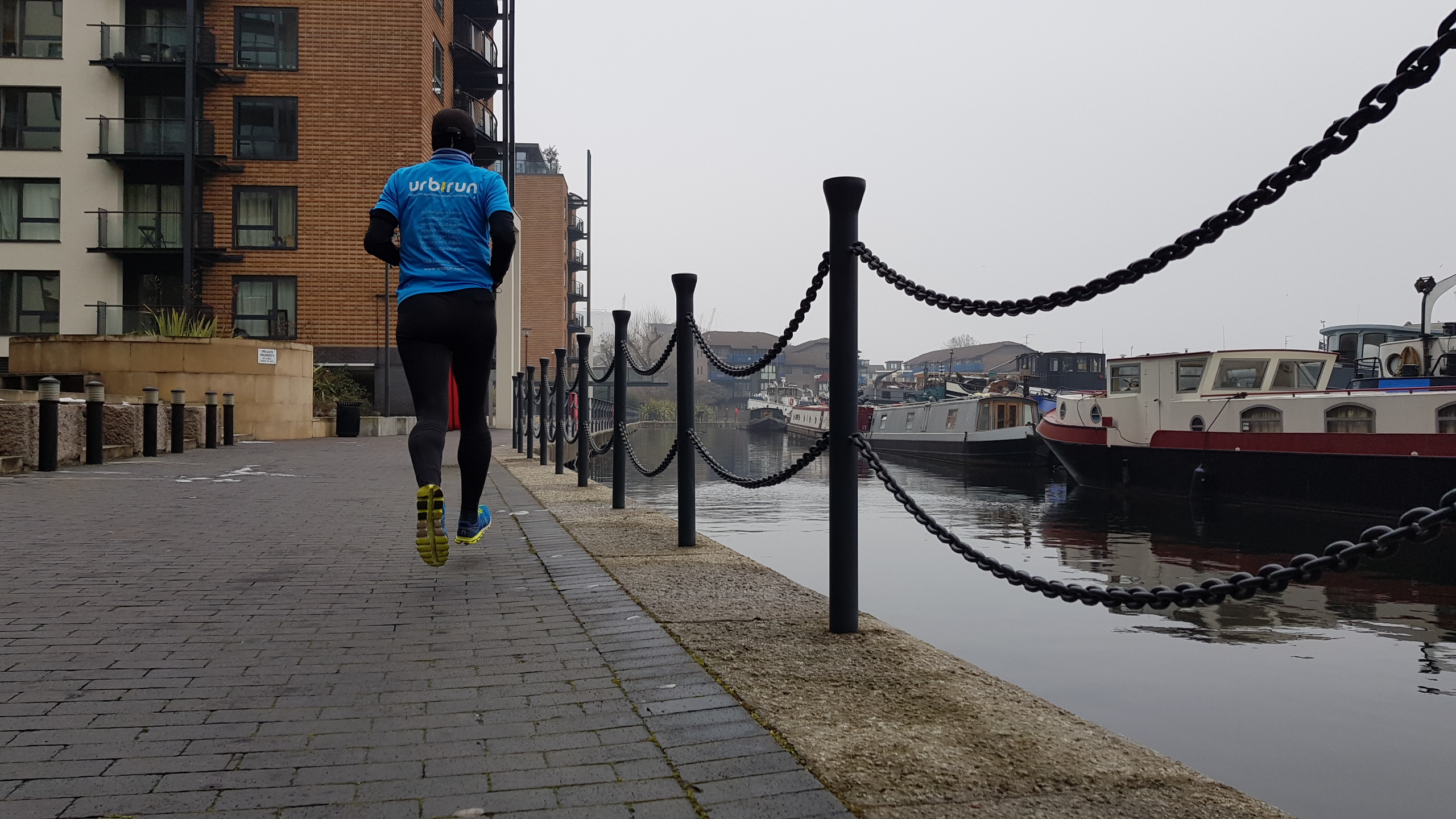
Bonus
There are many other sighrunning routes (23 so far) to run and explore in London and UK at the urbirun boutique
What is sightrunning ?
be urbirunner – run moments, not kilometers
=> Instant access • Garmin, Strava & Komoot compatible
After clicking your selected route, you’ll be redirected to our secure download platform to access your GPX file.
Running London Waterways - Regent's Canal (3 routes)
Running London Waterways - Around Thames(3 routes)
Running London Waterways - Canary Wharf (3 routes)
Running London Waterways - Thames Limehouse & Victoria
Running London Waterways - Around Quenn E Olympic Park
Running London Waterways - Full pack 11 routes
Best parks to run in London