Subscribe to our newsletter and keep up to date with urbirun news, new destinations and exclusive routes.
Join de urbirun newsletterLoop route starting from Saanen train station : komoot link – or get the .gpx route here
Just to the east of the Pays-d’En-Haut Regional Natural Park lies the Gastlosen little mountain range, which, like most little mountains, you can ride around.
So I thought, why not?
And it was a nice surprise.
I decided to set off from Saanen, a charming little village near Gstaad, towards Rougemont, on a very slight climb that was perfect for warming up.
Just after the village, my thighs had to work on a challenging steep climb, but fortunately it didn’t last too long.
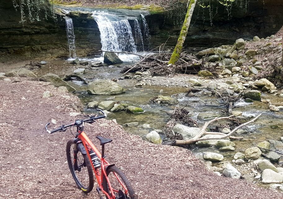
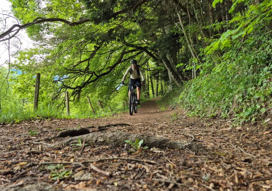
After this warm-up and about ten kilometers, I joined a single track descending into undergrowth. Once across the stream, the first climb begins.
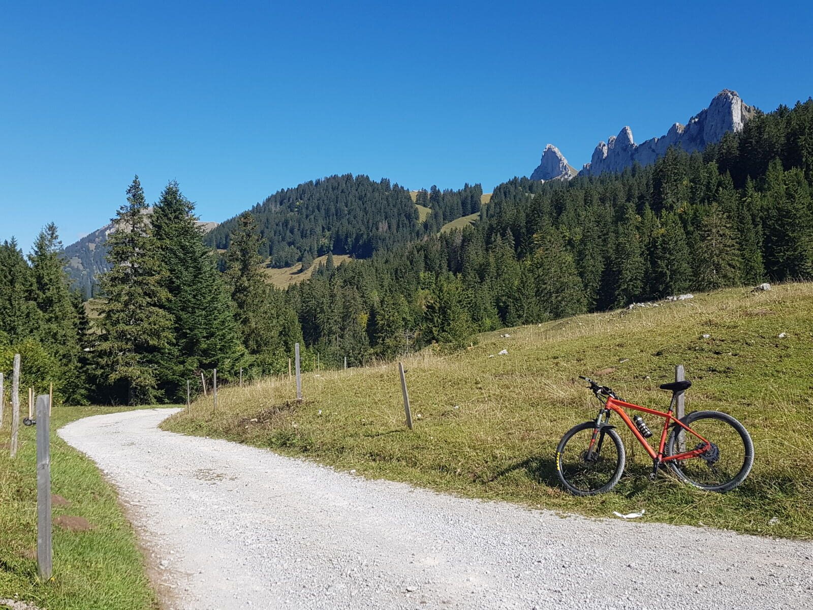
On a pretty gravel road, in a valley dominated by the Dent de Doréna, which rises 1000m higher to the west.
After about 5km, as the valley widens, I’m delighted to discover a magnificent kind of altitude plain, where there’s even a small alpine “restaurant”, and a chapel on a rock.
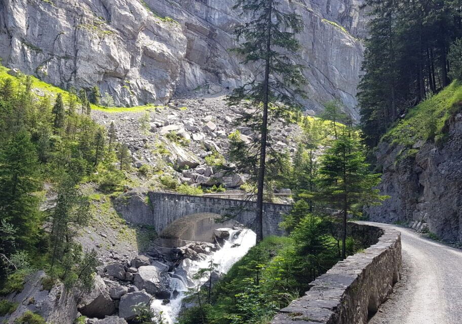
For just under 5km, the landscape is enchanting, with meadows and marshes surrounded by mountains, scattered rocks and the road sometimes skirting a cliff in the pleasant shade, all the way to the large Gros-Mont marsh (note that you have to dismount for the last kilometer across the marsch, and walk your bike along the road, as it’s a nature preserve, and of course absolutely not leave the road – thank you).
Once I’m back on the small tarmac road, the descent begins, with some very steep switchbacks that make me happy of having done the route this way. Seriously, you don’t want to climb these.
At the bottom of the descent, I head back east into the Jogne valley. To avoid the main road, you can follow a pleasant path that slopes gently up along the river, winding from one side to the other, until you reach the village of Jaun (if you prefer to stay on the main road, it’s quite wide and not too busy).
After the village and its small ski resort, we turn south to tackle the second ascent.
It starts slowly, it’s tarmac and very quiet all the way, but you need to keep your pedal to the metal. It’s a 10km climb at an average of 6%, but it’s in the 2nd half that it get serious, with several sections with over 10% gradient, which will take you to the Mittelberg (translated as “middle of the mountain” – yes, it’s a amazing to have such an imagination), a small pass not listed as such, at 1,634m. But don’t worry, the scenery will help you get over the effort, all the way up.
Then it’s back down to Saanen via the pleasantly shaded Fenils Valley.
Mountain bike option: Mountain bikers ride down via route 890, of medium difficulty according to the SuisseMobile website (route 890), by turning left at the Mittelberg junction, to climb a little further (1km at 11%, to the altitude of 1,746m), before starting the descent, mainly on single tracks, to Saanen (I haven’t tried this descent yet).
Once you arrive in Saanen, you can enjoy a drink in this charming little village, or continue on to Gstaad, with its picture-postcard atmosphere and luxury shops, just 4km away (flat).
Ridden : on a MERIDA BigNine XT mountain bike
