Subscribe to our newsletter and keep up to date with urbirun news, new destinations and exclusive routes.
Join de urbirun newsletterLocation : Aigle – Chablais, canton of Vaud – Alpes vaudoises
Distance : 41.8km
Elevation : +1,060m
Technical difficulty : easy to medium
Physical difficulty : demanding. Two steep climbs (6km at 9.8% and 2.5km at 8.5%).
Surface : 25% unpaved – 14% path (6.2km)
Suggested start : Aigle train station
Bike : Mountain bike to enjoy the singles, but can be ok for gravel. If you can choose, I’ll pick the mountain bike without hesitation.
Loop route starting from Aigle SBB station : get the .gpx route here and enjoy your ride !
Starting at Aigle train station, and after crossing the old town, a stone bridge and the charming La Fontaine very small district, you’ll set off to climb to the Castle, set amidst the vineyards.
Once you’ve passed the castle, don’t forget to look back and enjoy the scenery.
Because then, you’ll ride in the forest for most of this first ascent. First on a tarmac road, which is steep, to the hamlet of Verschiez. Then, just after passing under the stone bridge supporting the railway line to Les Diablerets, you turn left onto the Bois de la Glaive forest road for a few intense kilometers.
You’ll return to tarmac after climbing for around 6km, just before the small hamlet of Panex (restaurant and fountain).
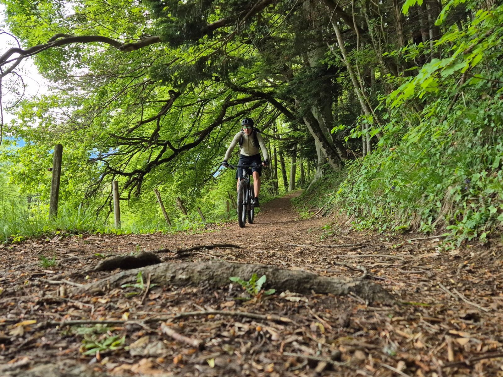
Shortly afterwards, you can start the descent of the Sentier du Sel (a very pretty reward after the climb), which I consider quite simply great. Neither technical nor dangerous, it’s a very pleasant flowtrail that has just the right amount of fun (although pure downhillers may be frustrated).
These 3.6km of delight take you to Glutières (fountain), just above Antagnes , where you can enjoy beautiful views of the Chablais and the Dents-du-Midi mountain range.
Continue downhill until you come to a meadow where the path is unmarked (for about 50m), then onto a forest road that runs along the edge of the meadow until you come to the road that takes you to Antagnes, on a flat, slightly uphill slope.
From Antagnes (fountains) you start a short descent through the vineyards. If you see a white mass in the distance, it’s not snow but salt, as you’re very close to the entrance to the Bex Salt Mines.
It will soon be time for refueling yourself, as the second difficulty approaches. At Les Dévens, you head into the forest for a pleasant climb through the undergrowth and along the fitness trail, before tackling the road that climbs towards Gryon-Villars.
The gradient can be quite steep, especially in the first part, in and just after Le Chêne (fountain), the first hamlet on the route.
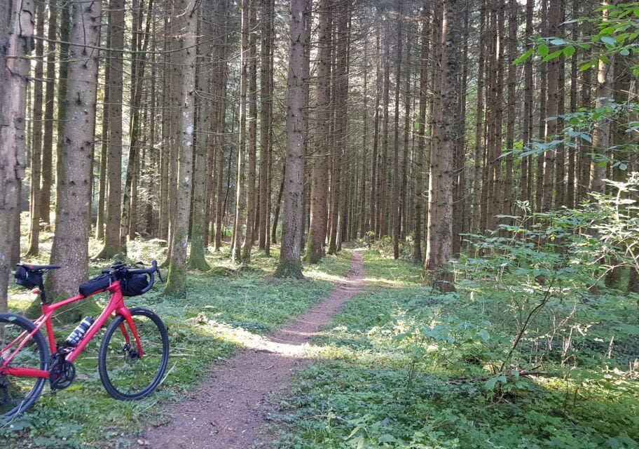
Then you continue to climb until you reach Fenalet. At the switchback bend after the village, go straight ahead and take a pleasant woodland path that climbs upwards, but don’t worry, it’s neither technical nor too steep.
And here you are in the Avançon valley.
The path will take you through a couple of chalets isolated in the forest, before returning to a tarmac road, which will briefly warm your brakes to take you down to Peuffeyres, where a power station takes advantage of the river’s current.
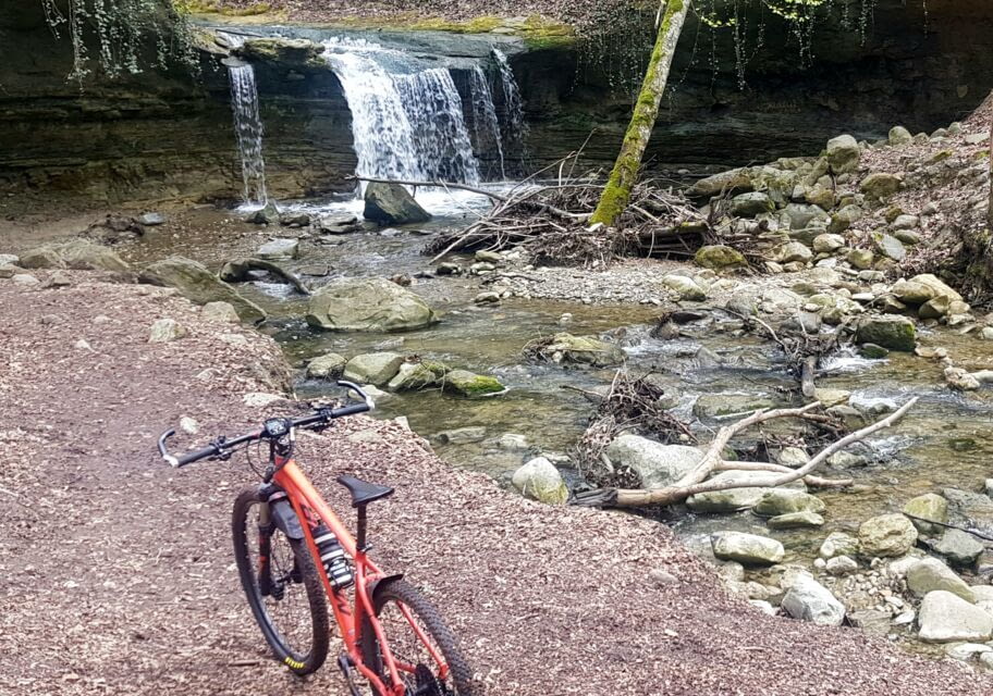
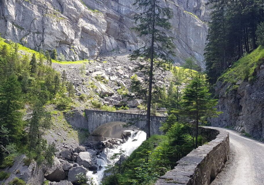
The descent continues along the pretty Avançon Gorges. Don’t go too fast, just enjoy the scenery and the bridges that take you from one side of the river to the other.
A second power station and you’re soon at the bottom.
You pass through the two hundred-year-old buildings of the Salines de Bex, and continue on to the village (shops, restaurants, fountains).
From here, you head back towards Aigle, taking pleasant country roads through the hamlet of Villy, at the foot of Ollon, then a final short climb to cross the hamlet and hill of Saint-Triphon (fountain).
Just 2–3 km more of flat, and you’ll be back at your starting point, I’m sure delighted with this enjoyable tour.
Achieved: often, on a MERIDA BigNine XT mountain bike and a Scott Spark910 mountain bike
