Subscribe to our newsletter and keep up to date with urbirun news, new destinations and exclusive routes.
Join de urbirun newsletter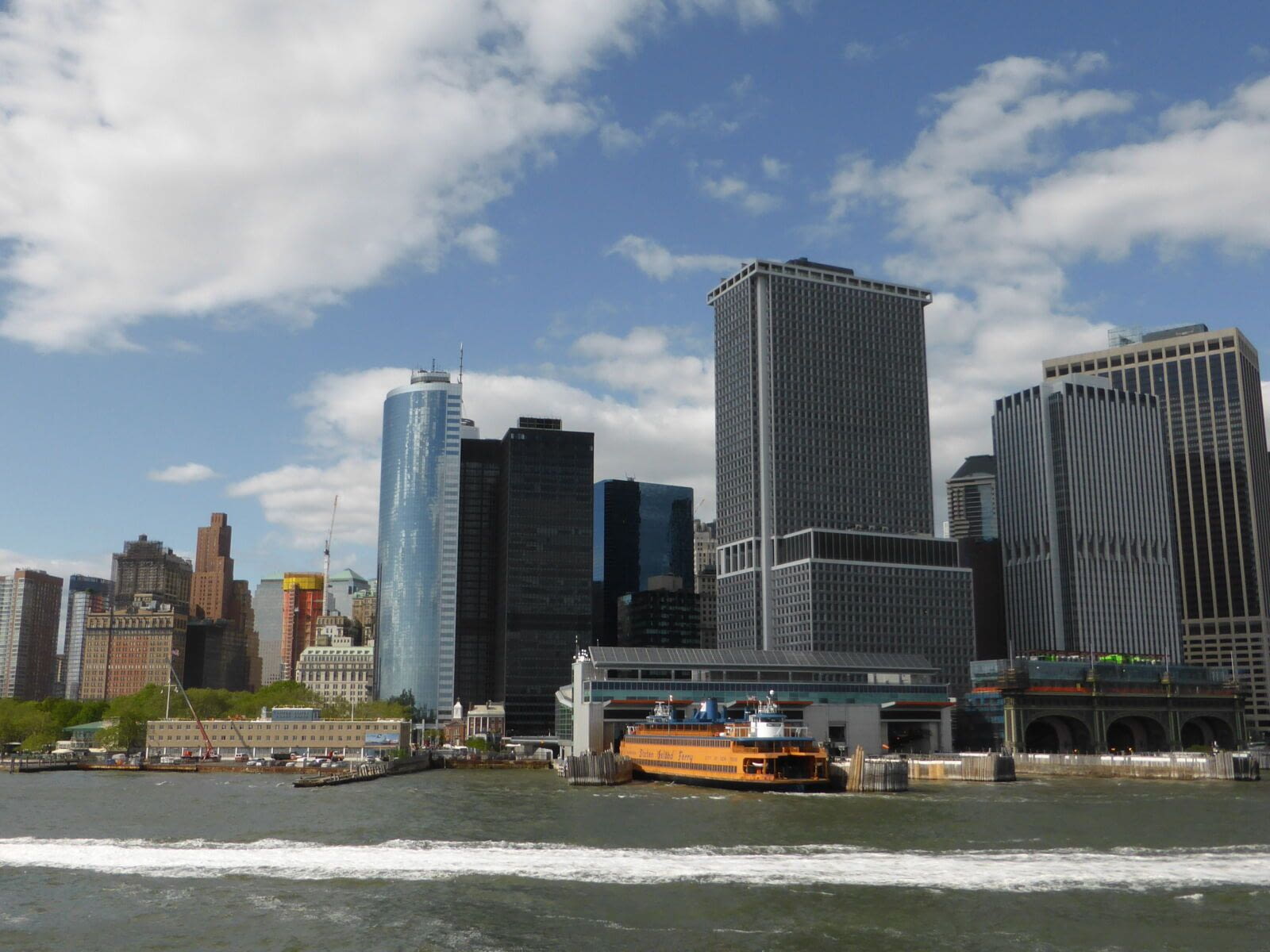
Running in New York - Hudson River and Midtown
New York, distance: 12.2km
Distance
9km/5.6mi to the end of the highline (*12.2km/7.6mi to Times Square, map)
Elevation difference
flat
Direction
linear, from south to north
Park / pedestrian
7km (ca 75%) (long route, ca 60%)
Urban constraints
low along the short route. New-yorker along the long route.
Proposed start
Staten Island Ferry (As any urbirun route, you can start whereever you want. Watch for the route direction)
Arrival 1
Hudson Yards 9km
Public transports
Start at Underground South Ferry Loop Station (line 1) or Whitehall st Station (line R)
Arrival 1
Hudson Yards Station
Arrival 2
Times Square
Proposed start
Staten Island Ferry (As any urbirun route, you can start whereever you want. Watch for the route direction)
Like all urbirun routes, you can start wherever you like. Pay attention to the direction of the tour.
Run in New York - Hudson River and Midtown
Along this sightrunning route, you'll discover the west side of Manhattan. Running along the Hudson river, you'll run through the Meatpacking district and Chelsea, follow along the Highline pedestrian promenade, and finish in the heart of New York city, Times Square.
*Alternative route : 9km to the end of the Highline or 12km to Times square (map)
NB : if unsure, please check the map and your position.
Bonus
There are many other amazing itinreraries to run and visit NYC - see all our best running routes in New York
Read our experience on an unforgettable route, where you could probably run one of your best running memory.
Download the audio tour
GPX file (NYC - Hudson River & Midtown - 12.2km)
On our blog
Public transportation
Find all Urbirun routes in GPX format in the Urbirun GPX boutique!
Tour preview


Our tours
Other exclusive tours