Completely flat route. Simple, but nice, pretty, between modern architecture and the old town. I recommend it, and don't hesitate to push open the door when you're told to, just let yourself go, it's fun.
Running in Lyon - Confluence and Old-Lyon
Lyon, distance: 10km
Distance
10km (6.2mi)
Elevation difference
flat
Direction
clockwise
Park / pedestrian
circa 80% (8km/5mi)
Urban constraints
low
Proposed start
Bellecour Square /As any urbirun route, you can start whereever you want. Watch for the route direction.
Public transports
underground, Bellecour station (lines A and D)
Proposed start
Bellecour Square /As any urbirun route, you can start whereever you want. Watch for the route direction.
Like all urbirun routes, you can start wherever you like. Pay attention to the direction of the tour.
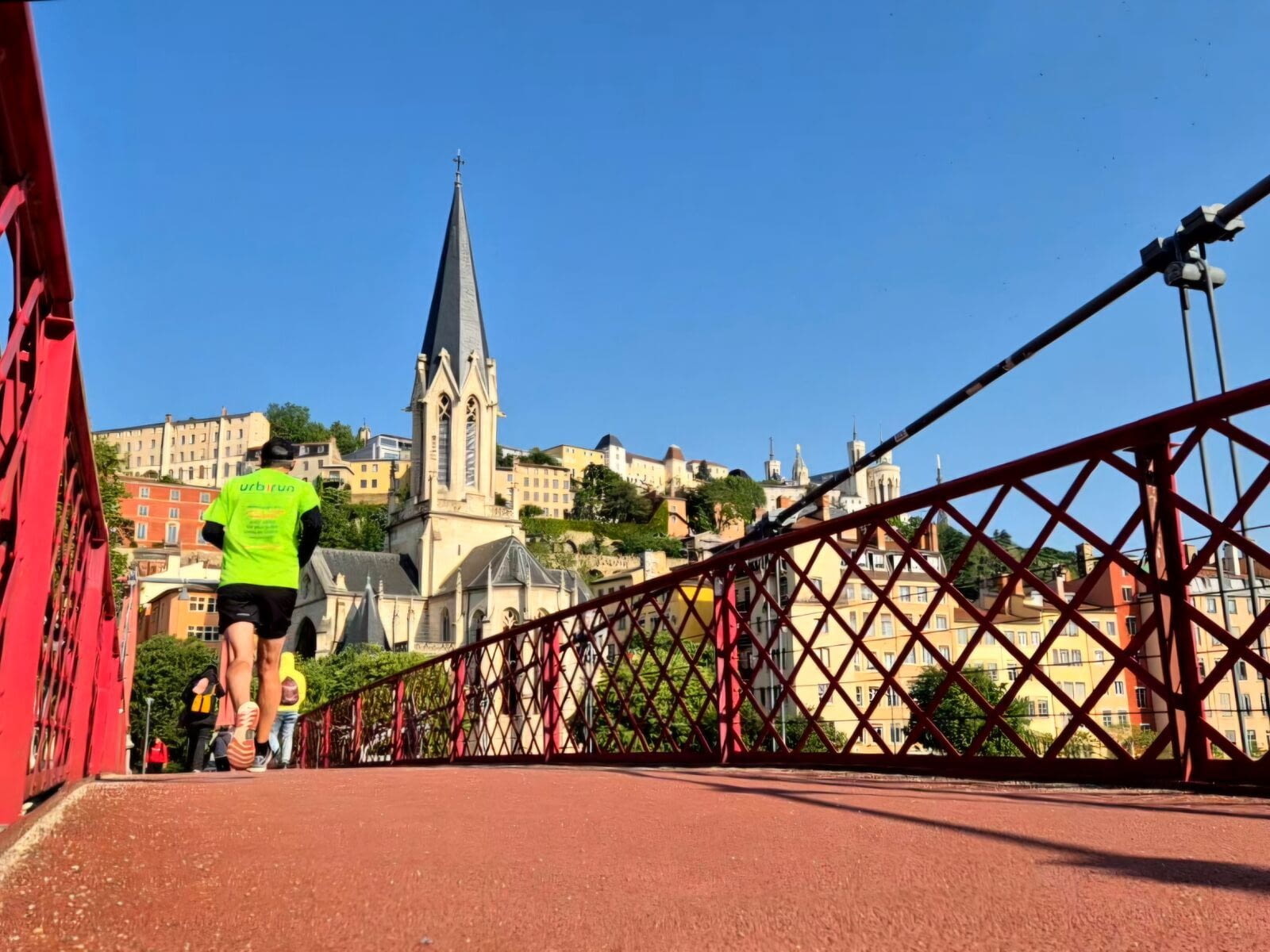
Run in Lyon, Confluence and Old-Lyon
This is a pleasant sightrunning tour along the waterfront to discover the new Confluence district, and its original architecture, between the Saone and Rhone rivers, and includes a pleasant detour in Old Lyon.
NB : in case of doubt, please feel free to check your position on the map and the track.
Bonus
You can as well enjoy this original sightrunning route in the hills of Lyon : urbirun Lyon Hills - Fourvière & Croix Rousse, 9.5km and 225m elevation
Download the audio tour
GPX file (Lyon Confluence 10.4km)
GPX file (Lyon and Hills 9.5km)
Running in Lyon, read our experience on the blog
Find all Urbirun routes in GPX format in the Urbirun GPX boutique!
Tour preview


Testimonies
Our tours
Other exclusive tours