Running in Lausanne - Highlights
Lausanne, distance: 17.2km
Flon Underground station / As any urbirun route, you can start where ever you want. Watch for the route direction.
Like all urbirun routes, you can start wherever you like. Pay attention to the direction of the tour.
Run in Lausanne - Highlights / 3 distances
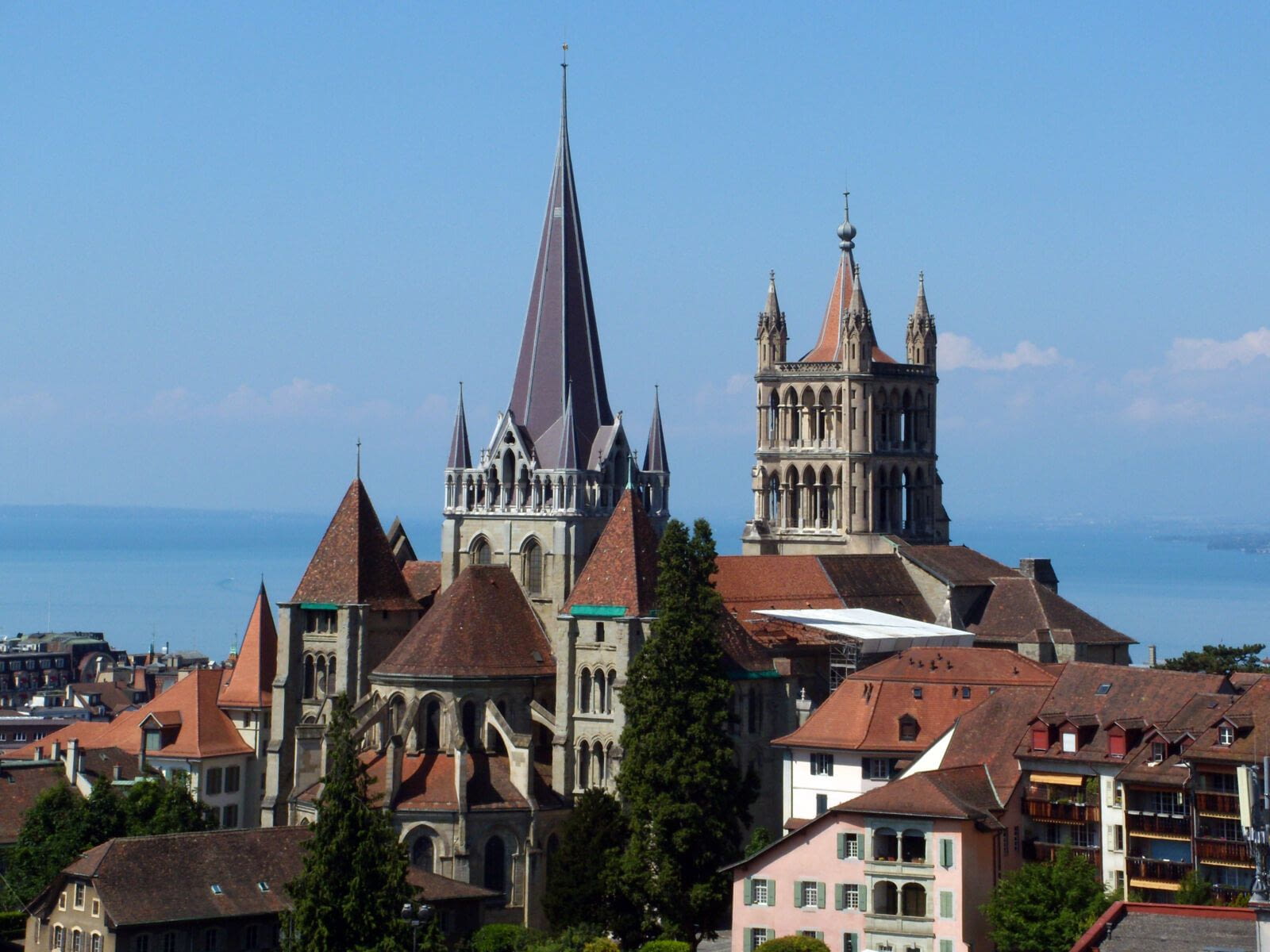
As Olympic Capital, Lausanne is a sport city, full of very various treasures. On an enchanting lakeshore, you'll find parks, various neighborhoods, a beautiful and historic Old Town, forests and narrow valleys almost in the heart of the city. But you have to earn your run in Lausanne. The longest route is demanding, very few flat areas, but it's also what makes this city so charming. Challenge yourself, meet the legendary runner Emil Zatopek in the Olympic Park Museum and earn your own gold medal, you will not regret it.
*Alternative route : 4 different tours are possible. Full tour 17.2km (map), Lausanne North 12.6km (=centre + Sauvablin Park), Lausanne south 12.5km (=centre + lake), Lausanne center 7.6km (Old Town)
NB : in case of doubt, please feel free to check your position on the map and the track.
With Lausanne Tourisme officiel support

Find all Urbirun routes in GPX format in the Urbirun GPX boutique!
Tour preview


Testimonies
Our tours
Other exclusive tours