Running in Geneva - South bank and Old Town
Geneva, distance: 9.8km
north end of the Mont Blanc Bridge (corner Pont du Mont-Blanc / Quai du Mont-Blanc).
Like all urbirun routes, you can start wherever you like. Pay attention to the direction of the tour.
Visit Geneva while running
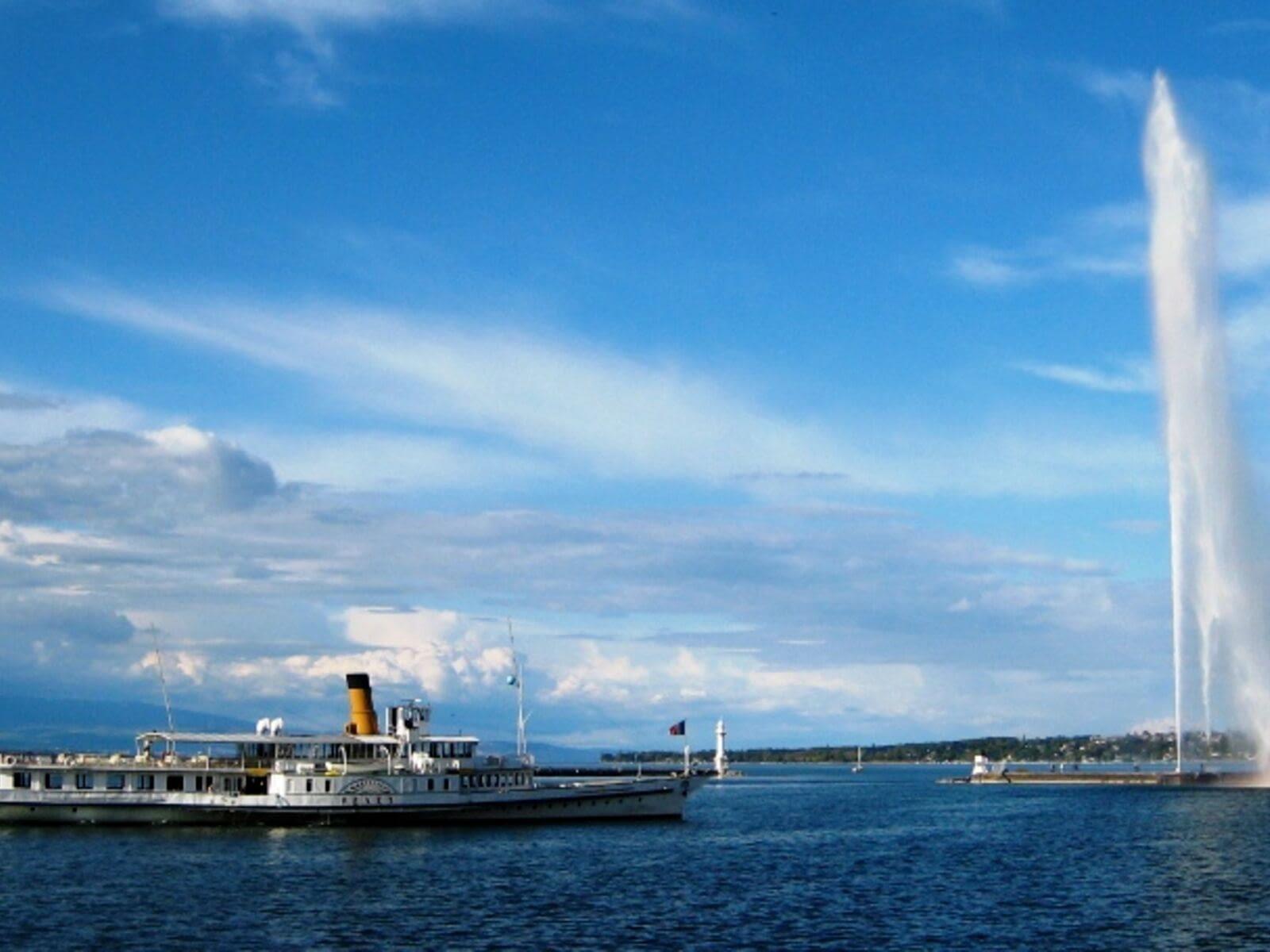
This running route takes you to the Jet d'Eau, an emblem of Geneva with its 140m height. A short detour on the embankment can be refreshing before the busy streets of the Quartier des Eaux-Vives/cite. You will run through the old town and its maze of alleys, the St-Pierre Cathedral, and the green Parc des Bastions and Reformation Wall. You won't miss a thing. You'll also discover the Plainpalais districts, a popular cultural and student neighborhood. You will run the banks of the Arve which is crossed by the elegant Pont Wilsdorf, and of course the Junction neighborhood and the banks of the Rhone. Your tour also includes the Seujet dam that regulates the levels of water in Lake Geneva after collecting waters from the Swiss Alps to the Mediterranean Sea.
As any urbirun route, you can start wherever you want. Watch for the route rotation direction.
NB : if unsure, check your position on the map and on the track.
________________________
***What is sightrunning ?***
_______________
*be urbirunner - run moments, not kilometers
=> Instant access • Garmin, Strava & Komoot compatible
After clicking your selected route, you’ll be redirected to our secure download platform to access your GPX file.
Find all Urbirun routes in GPX format in the Urbirun GPX boutique!
Tour preview


Testimonies
Our tours
Other exclusive tours