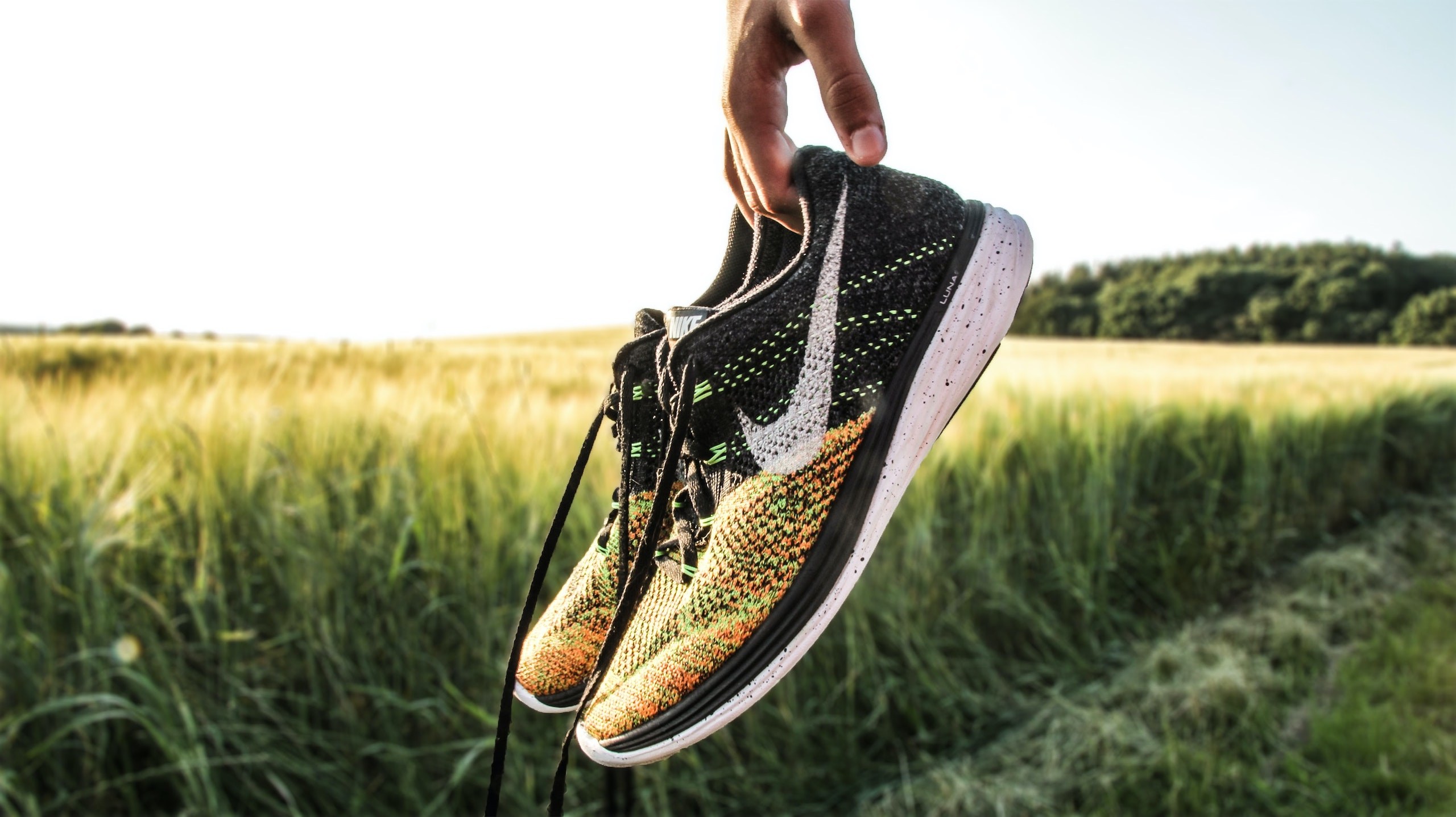
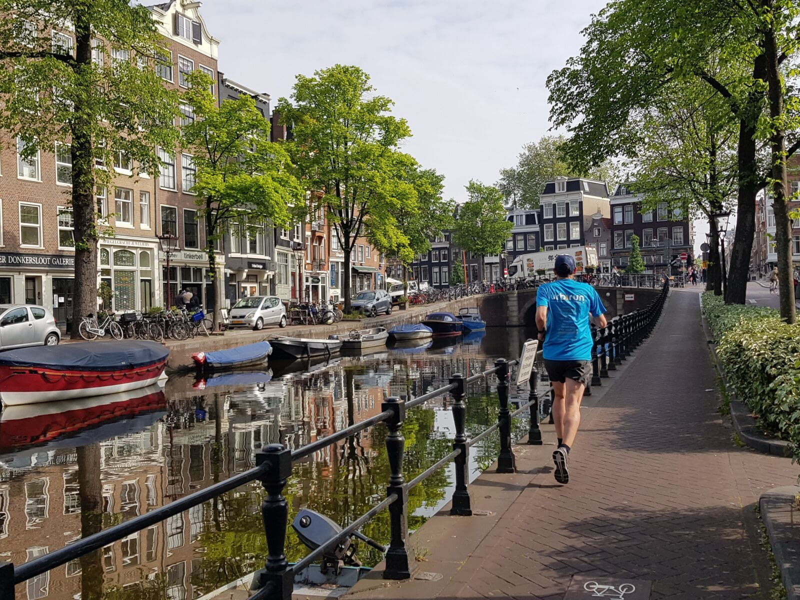
(Morning run while visiting all interesting areas of Amsterdam, thanks again @urbirun !) from instagram @olirun3.0
Running in Amsterdam - Highlights
Amsterdam, distance: 12.3km
Distance
12.3km / 7.6mi ( or *9.5km/5.9 mi)
Elevation difference
flat
Rotation
counterclockwise
Park / pedestrian
3.8km (ca 32%)
Urban constraints
low
Proposed start
Prins Hendrikkade / Martelaarsgracht - as any urbirun route, you can start where ever you want. Watch for the route rotation direction.
Public transports
tram 1, 2, 5, 13, 17, Martelaarsgracht station / bus station CS Prins Hendriksplantsoen
Proposed start
Prins Hendrikkade / Martelaarsgracht - as any urbirun route, you can start where ever you want. Watch for the route rotation direction.
Like all urbirun routes, you can start wherever you like. Pay attention to the direction of the tour.
Visit Paris while running
Explore the Amsterdam canals, cross countless bridges, enjoy the charm of its streets and narrow houses, penetrate into the Begijnhof, appreciate the space of Museumsplein, resist the many cafes and bars, as well as the temptations of the red light district. You will be charmed by the Venice of the North along this "run and visit" route ...
*Alternative route : after Magere Brug (skinny bridge) you can choose between a long route (12.4km) and a short route (9.5km)
Bonus
Read a story of this run on the blog ! (link below)
You prefer biking? Get the urbirun's gpx file, and ride along a nice route to explore Amsterdam's best places and sights. ANd no worries, it's totally flat.
________________________
***What is sightrunning ?***
_______________
*be urbirunner - run moments, not kilometers
=> Instant access • Garmin, Strava & Komoot compatible
After clicking your selected route, you’ll be redirected to our secure download platform to access your GPX file.
Download the audio tour
GPX file (Amsterdam 12.3km)
Gpx file (Amsterdam 9.4km)
Gpx file (Amsterdam urbi-BIKE 32.6km)
Run in Amsterdam, how is it?
Find all Urbirun routes in GPX format in the Urbirun GPX boutique!
Tour preview


Testimonies
Our tours
Other exclusive tours