Subscribe to our newsletter and keep up to date with urbirun news, new destinations and exclusive routes.
Join de urbirun newsletterStage 7 – Wolhusen-Lüdernalp – 28.3km (total 213,3km) / 1'267D+ (5'908m) / bridge 3 (51).
The one where I didn’t see the landscape, and I was tching in the mud…
All you want to know about the swiss.crossing Lake2Lake adventure, is here.
Start in the dust, with the secret hope that it will clear up, as it’s a mountainous stage, so there should be some scenery.
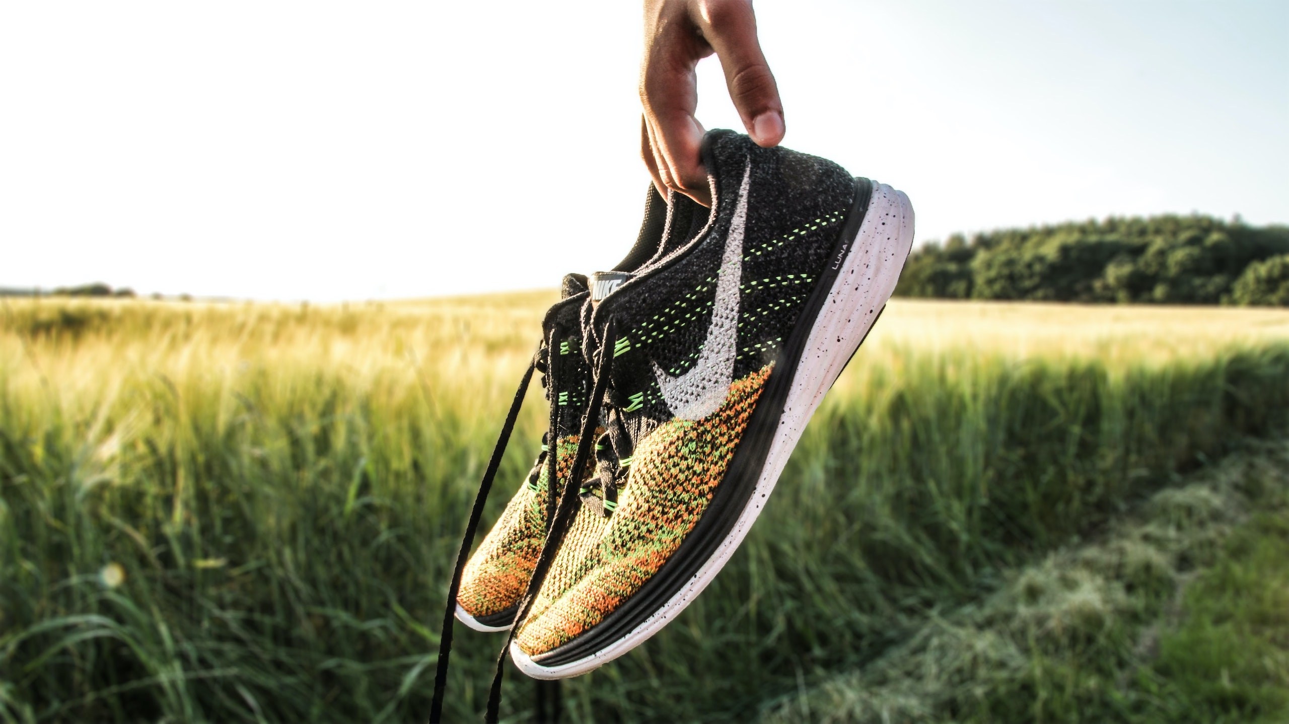
I get into the thick of things after the second km, leaving Wolhusen. The first climb is very very steep, and I already have to walk. It gets a bit less steep afterwards, through wet fields, and my shoes are already totally wet after 3 km.
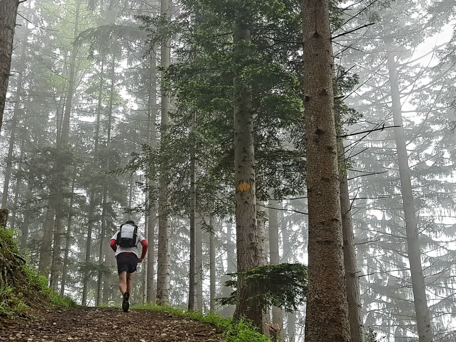
It continues to go up like this, for 7 or 8 km, alternating fields or country roads, through a thick mist. The few passages in the forest are welcome, as they free me a bit from the oppression of the fog, but it’s then very muddy paths that I have to run along.
At the 8th km, I find a kiosk in front of a farm, self-service, I would have absolutely no need for refreshments, there is everything you want, including four different kinds of booze, which you can use. And of course the cash register right next door where you have to put your money if you take something. This trust and respect are wonderful.
From the 11th km, it starts to climb much more seriously, always in fields or forests.
That’s where I meet the first human of the day. Until then I was totally alone, in the mist, in a total silence, except for some cow bells that I could hear, without seeing the animals. Until I met one in the middle of my road…
It climbs quite hard, but I take a little break to immortalize the 200th kilometer of the adventure, at Hapfigchnubel (elev. 1301m). Shortly after, I pass Stächelegg, an alpine pasture that has also opened a small rest area and is absolutely crowded and noisy. Too much noise and too many people all at once. I continue to climb towards Napf, always in this thick fog, which if it deprives me of the landscape, sometimes creates quite mystical atmospheres.
I finally reach Napf, elev. 1408m, the highest point of the day, but I give up to take a real break there, as it’s cold and there is absolutely no landscape to observe, everything is absolutely drowned and surrounded by fog. It’s a pity because I’m sure that the view is worth it.
I decide to go back down a little bit to have a break, hoping to gain a few degrees. I find myself on a narrow path in a forest, in the mud, it does not advance quickly, and it starts to rain slightly.
Fortunately the shower is short-lived, and I can quickly take off the K-Way. I continue through alpine pastures, and I enter the canton of Berne at the 20th km (my 8th canton).
And this 20th km, I will remember, because it will turn out to be extremely steep, on a gravel road. I again have no choice but to walk, and I don’t see which vehicle can take this road, as it is so steep. My watch will show me almost 150 m of difference in altitude in 700 m… so this km is not even one, but I had a hard time.
Once on a flat area, I continue to a farm, where a bench and a table, sheltered, allow me to have a short refit. I don’t linger, it is still cold.
The fog has lifted a little, but it’s still quite cloudy. I start again through forest and alpine pastures, almost entirely on small paths, between roots and mud, I don’t run very quickly, but that does not go up much.
I start to see the landscape, the surrounding valleys, covered with forest or meadow, and some very scattered farms, and very few roads.
I go on anyway, between the fir trees, and it’s in the alpine pasture of Bluttenried-Schwand that I enjoy the first rays of sunshine, when I only have one last kilometer left. But then I can’t say that I ran in the fog all day.
I settle down at the hotel in Lüdernalp, I try to have a drink on the terrace, but it’s still a bit too cold.
Lodging: Bärnsicht, Lüdernalp
Previous stage 6/12 Next stage 8/12

