Subscribe to our newsletter and keep up to date with urbirun news, new destinations and exclusive routes.
Join de urbirun newsletterStage 11 – Charmey-Les Rosalys/Paccots – 29.65km (total 345.45km) / +1698mD+ (10'586) – 17 bridges (99) – stone in the shoe 1 (7).
The one where I saw cows making gruyere, and I ran in the snow.
All you want to know about the swiss.crossing Lake2Lake adventure, is here.
The start is slow. At the start of Charmey, I move like a little old man. The right knee doesn’t seem to be in the mood…
A short descent to La Jogne, which I crossed on a suspension bridge. Then I walk along the Lake of Monsalvens on a path in the forest, green and dotted with sun spots, and it takes me 3km before my first mud puddle… it gets better.
I then cross the dam on the river, which in fact forms the Lake of Monsalvens, before going into the Jogne Gorges, through a flight of steep steps. Then it’s bridges and narrow tunnels, dark and muddy, that allow me to follow the course of the river in the middle of cliffs covered with fir trees. My watch and its GPS get a burn-out…
I come out of these beautiful gorges in Broc, famous for its chocolate factory.
I cross some meadows where cows are busy with the very first step of the Gruyère cheese making process: eating grass, with the Gruyères castle in the background, and further behind The Moléson mountain, which seems to me quite big…
I cross the Sarine river by the “Pont qui branle” (shaking bridge) (which doesn’t shake at all, by the way). Entirely made of wood, and entirely covered, including on the sides, it is almost more a tunnel than a bridge.
At the foot of the Gruyères hill, my knee is still annoying me, and clearly shows a strong disapproval as soon as it goes up… I hobble to the castle, quite worried. I take a little break in the heart of this charming village, fortified, all paved, dominated by the castle, and enthroned at the top of a small hill that allows to see the whole region around.
I fill the water bottles from the fountain in the center of the village, I cream my knee with perskindol, I eat a little, and let’s go…
Short descent, a little bit of flat, and here we go for the big ascent…
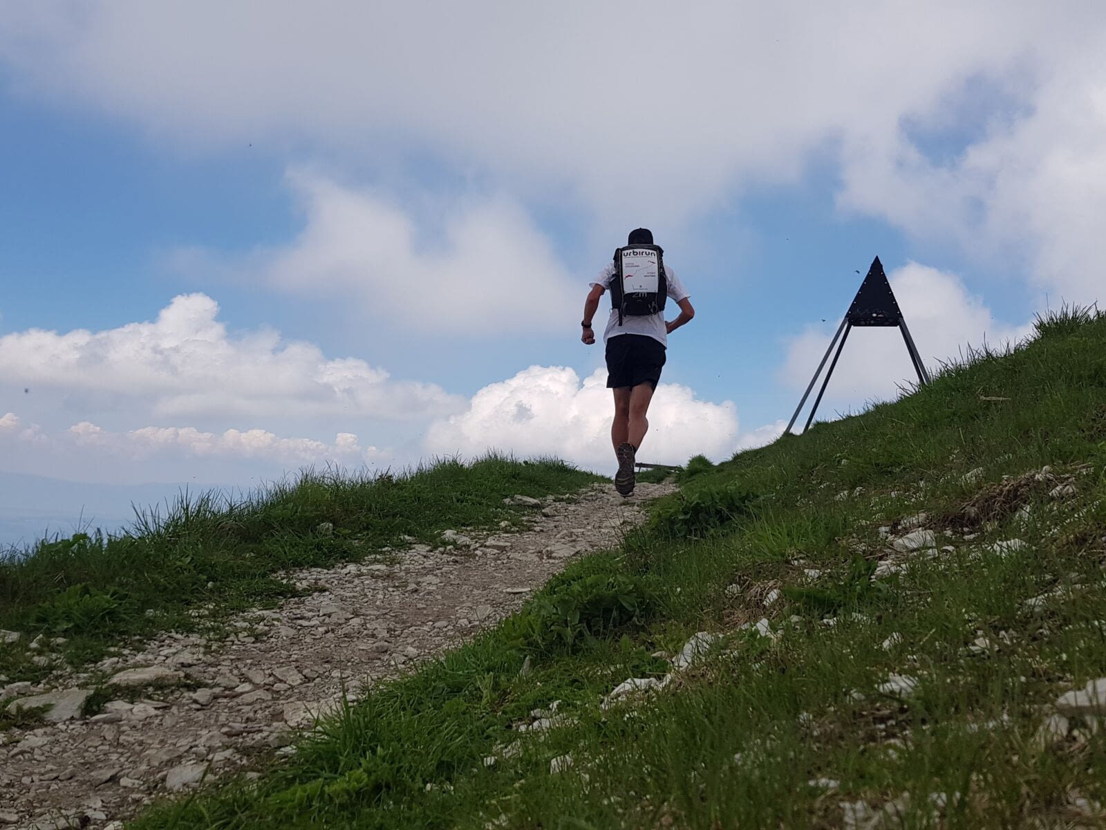
My knee is happy to have had its little care and shuts up. So much the better, because it goes up steep… I walk fast more than I run. A last look back at Gruyères, then I’m in the mountain pastures, dominated by the Moléson.
It’s hard, I go as fast as I can, but it’s not a great pace.
I reach Plan Francey (alt. 1517m) at about 12:40, well underway. And still the imposing Moléson Summit straight ahead.
Picnic lunch, quite short, because despite the sun, it’s cold with the wind. I fill up with water and decide to tackle the summit anyway.
Brief descent, before leaving the via3 and really starting the ascent. It’s quite steep, and halfway up, I cross the first snow. Then the path becomes a real torrent for 2–300 meters. It washes the shoes, but it’s quite fresh…
I continue to fight with the steep trail, and I reach the summit in 45–50 minutes from my departure from Plan Francey. I reached the highest point of my journey…
And there, it’s wow…the whole of the French-speaking Plateau spreads out before my eyes, the Gruyère Area, Charmey in the distance, the village of Gruyères, my whole route of the day…and if I turn south…the lake. The Lake of Geneva !!! The other lake of my trip… the arrival is close…
I stay for a long time at the top, enjoying this exceptional panorama. I discuss a moment with a trailer, interested in my adventure… then I start again…
But I have to take a break at the restaurant, to recharge my phone… which allows me to enjoy the landscape for a while…
I go back on the mountain ridge heading to Teysachaux, the Lake Geneva almost in front of me. After a short km on this magnificent ridge, I go down on the right, through the alpine pastures, quite hard, I have to be concentrated, until I reach the via3 again at Le Villard.
Then it’s road, forest, and a bit of flat road (hard to set the pace) to end up in Rosalys. A last climb and I settle down on the hotel terrace.
And there, a wonderful surprise, a message from my friend Christophe, who tried to find me on the road by mountain bike, without success. But he’s close by, and he comes to share 2 beers with me. Too nice after this long day…
Excellent dinner, macaroni with Gruyere cream and cheese, but if I finish the dish, no chance to run before the end of July…
Lodging : Hotel les Rosalys
Previous stage 10/12 Next stage 12/12


