Subscribe to our newsletter and keep up to date with urbirun news, new destinations and exclusive routes.
Join de urbirun newsletter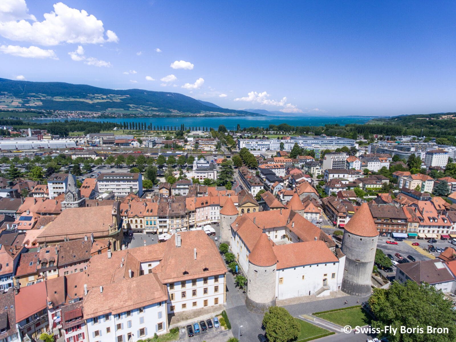
Running in Yverdon-les-Bains
Yverdon-les-Bains, distance: 11.8km
Distance
11.8km / 7,3mi (*10km/6.2mi)
Elevation difference
flat
Rotation
clockwise
Park / pedestrian
6,1km (ca 52%)
Urban constraints
low
Proposed start
Railway station
Proposed start
Railway station
Like all urbirun routes, you can start wherever you like. Pay attention to the direction of the tour.
The thermal city of Yverdon-les-Bains exudes well-being and good living. The region, nestled between Lake Neuchâtel and the Jura mountains, at the crossroads of major communication routes, has always been inhabited. From prehistorical menhirs to neo-classical facades from the 18th Century, through the vestiges of Roman occupation, there are 6000 years of history to be discovered along the route. Though Yverdon-les-Bains is a dynamic, forward-looking town, it has also succeeded in preserving unspoilt natural surroundings. Lakeshores, waterways, parks and nature reserves, not forgetting the Thermal Centre and its beneficial effects, all go to create the ideal setting to relax.
*Alternative route : 10km, without the Robert Hainard Promenade, and without the banks of the Thièle River,
NB : if you are unsure, check your position on the map and the track.
This tour was created with the official support of Ville d'Yverdon-les-Bains City Council and Tourism Office
(c)photos, crédits, OT Yverdon-les-Bains & David Carard, Benoît Renevey, Emile Durussel, Claude Jaccard
Find all Urbirun routes in GPX format in the Urbirun GPX boutique!
Tour preview


Our tours
Other exclusive tours